July 12, 2014
The last few days I’ve been traveling much further north than east just to get around the top of Maine. Once overtop, I’ll almost be backtracking. Had I come from the southern tip of Ontario, it would have been a serious trip north. It has gotten me thinking about borders. It seems to me the border between Canada and the US reflects both the relationship between local communities and their relationship to the land.
While I was cycling above 49th parallel, there were few reminders of a shared history between communities on either side of the international boundary. Potential competition from the US, influenced where the CP railway ended up and trouble with bootleggers from US territories was one factor in the creation of the Mounties but on the whole the line was drawn before settlers communities were fully establish. The act of drawing a line along a longitudal line instead of waterways or other natural markers is indicative of the assumption that the land was open and available. Never mind the aboriginal communities and their hunting grounds, or natural watersheds. I wonder if the straight border lines throughout the plains continue to influence certain notions about the region as a void between the coasts?
From the Great Lakes east, the border is far less clean as is the relationship across the borders. Long before Canadians and Americans, the boundaries between the Bristish and French often looked quite difference. Nevertheless, people had established various loyalties and memories to the land and their places so no straight line would have been fathomable. There is a short line along the 45th parallel above New York and Vermont but that took awhile to establish because of surveying errors.
Anyway, looking at maps day in and out gets one thinking about the lines we draw between them and us. So inconsequential on the page, it can take days to get around them by bike.
Road Report: 156km
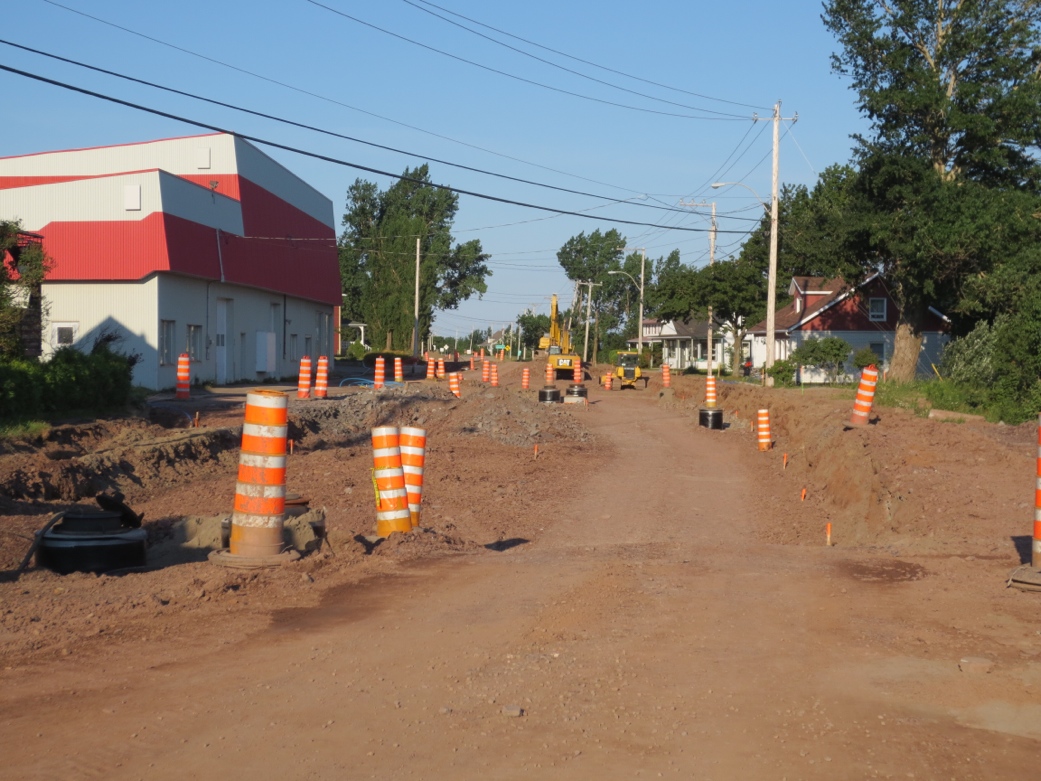
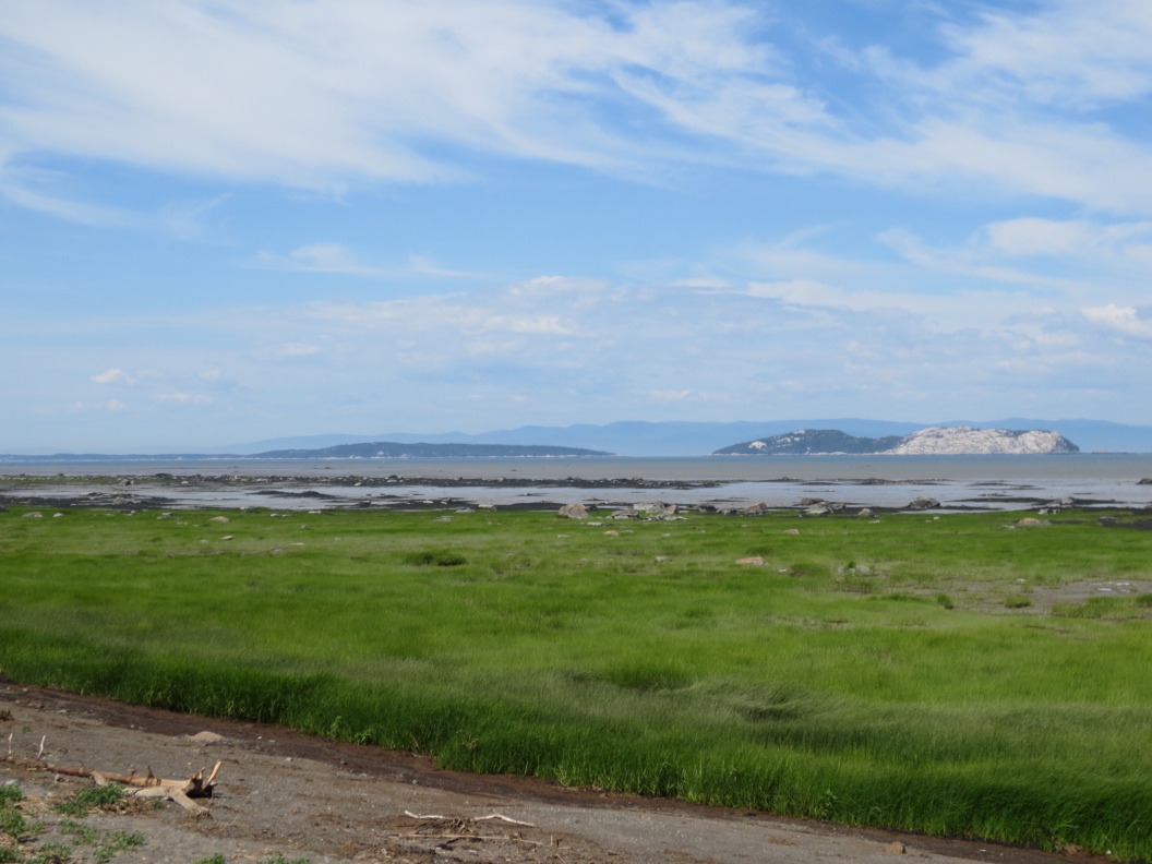
Hilly but good cycling continues along the 132. There’s a gorgeous bypass along the river starting at the provincial park outside Notre-Dame-du-Portage, an added bonus is avoiding the climb up the escarpment above the village. Out of Rivière-du-Loup the interprovincial trail is an excellent alternative to the highways heading to New Brunswick. Because it’s crushed gravel, it is a little soft on a loaded bike but you had more gentle inclines on the former railroad than the highway.
Bonus Points: 10 points if you can tell me what the reference to Ha! Ha! is. It is not St Louis of the Amusing Anecdote/Joke.